| 日本・世界ジオパークの概要 | 山陰海岸ジオパークの概要 |
| 貴重で美しい地形・地質 | 国際的な重要性 | 大陸から分かれた日本列島 |
| 豊かな生態系 | ジオがもたらした人々の暮らし |
貴重で美しい地形・地質
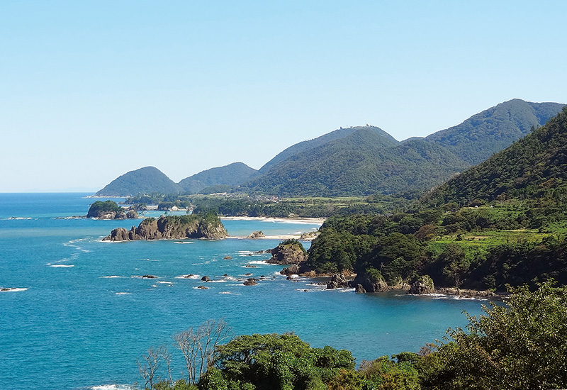
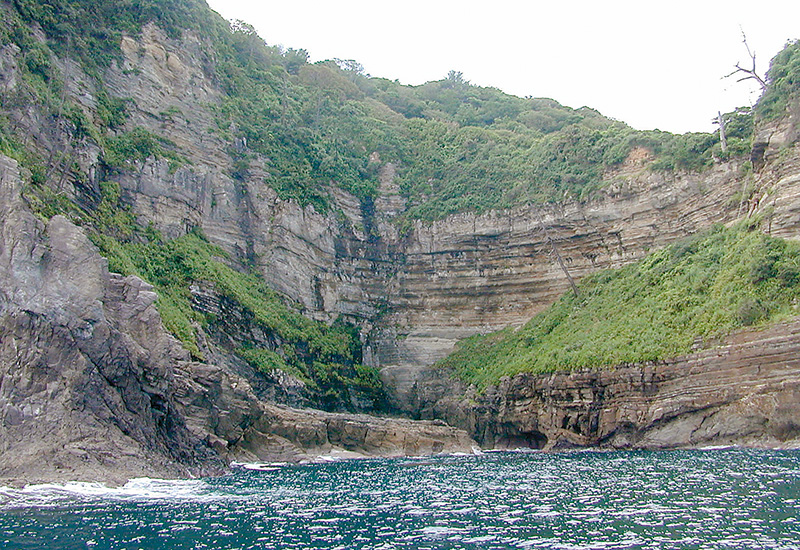
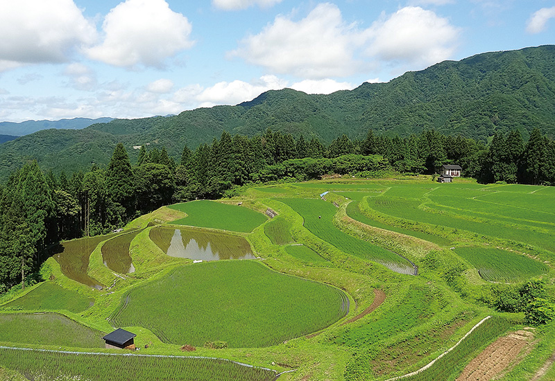
山陰海岸ジオパークでは、さまざまな岩石や地層、多彩な海岸地形、滝や渓谷など、貴重で美しい 地形・地質を観察することができます。
地形・地質学的特徴としては、以下の6つが挙げられます。
地形・地質学的特徴
(1)日本海形成に関わる様々な岩石や地層
(2)日本海沿岸の変化に富んだ海岸地形
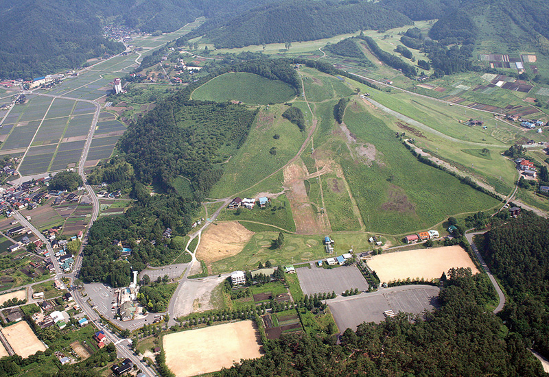
(3)日本海形成後も引き続いた火山活動
(4)第四紀における地磁気逆転期の発見サイト(玄武洞玄武岩)
(5)豊富な温泉資源
(6)第四紀地殻変動を示す活断層・海岸段丘
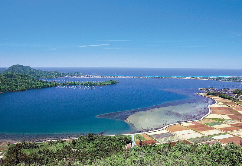
○砂丘・砂州・ラグーン
鳥取砂丘・井手ヶ浜・小天橋・琴引浜など
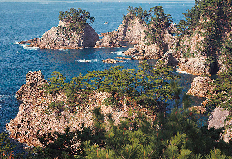
○海食崖・波食棚
香住海岸・但馬御火浦・浦富海岸など
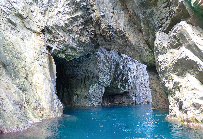
○洞門・海食洞
淀洞門・旭洞門・下荒洞門・日本洞門など
○海岸段丘
袖志・筆石・丹後松島・経ヶ岬など
○火山・山地・高原
神鍋火山群・鉢伏山・扇ノ山など
○地層
猫崎半島・松ヶ崎百層崖(がい)など
○棚田
和佐父・貫田・横尾・丹土など
○断層
郷村断層・鹿野断層
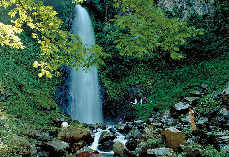
○滝・渓谷
猿尾滝・霧ヶ滝・雨滝など