| 日本・世界ジオパークの概要 | 山陰海岸ジオパークの概要 |
| 貴重で美しい地形・地質 | 国際的な重要性 | 大陸から分かれた日本列島 |
| 豊かな生態系 | ジオがもたらした人々の暮らし |
山陰海岸ジオパークの概要
(1)山陰海岸ジオパークの沿革
| 2007(平成19)年 7月 | 山陰海岸ジオパーク推進協議会設立(事務局:新温泉町) |
|---|---|
| 2008(平成20)年12月 | 日本ジオパークネットワーク加盟 |
| 2009(平成21)年 1月 | 事務局を新温泉町から兵庫県但馬県民局へ移管 |
| 2010(平成22)年10月 | 世界ジオパークネットワーク加盟 |
| 2013(平成25)年12月 | 日本ジオパークに再認定(鳥取市西部拡大エリアを含む) |
| 2014(平成26)年 9月 | 世界ジオパークネットワーク再認定 |
| 2015(平成27)年11月 | 世界ジオパークがユネスコの正式事業に決定 |
| 2017(平成29)年 9月 | 日本ジオパーク条件付再認定(イエローカード) |
| 2019(平成31)年 2月 | ユネスコ世界ジオパーク再認定 日本ジオパーク条件付再認定の取消(グリーンカード) |
| 2022(令和4)年12月 | ユネスコ世界ジオパーク条件付再認定(イエローカード) |
| 2024(令和6)年9月 | ユネスコ世界ジオパーク再認定(グリーンカード) |
(2)山陰海岸ジオパークの特徴
山陰海岸ジオパークは、京都府(京丹後市)、兵庫県(豊岡市・香美町・新温泉町)、鳥取県(岩美町・鳥取市)にまたがる広大なエリアを有しており、山陰海岸国立公園を中心に、京丹後市の東端から鳥取市の西端まで、東西約120km、面積は2458.44㎢で、東京都よりひとまわり大きい広さになります。日本海形成から現在に至る様々な地質が存在し、それらを背景とした生き物や人々の暮らし、文化・歴史に触れることができる地域です。
山陰海岸ジオパークの最大の特徴は、日本列島が大陸の一部だった時代から日本海形成に関わる火成岩類や地層、海水準や地殻の変動によって形成されたリアス海岸や砂丘をはじめとする多彩な海岸地形など、貴重な地形・地質遺産を数多く観察できることです。
ジオパークのエリア内は、古くから人々の生活の場となっていて、多彩な自然を背景とした人々の文化・歴史を学ぶこともできます。山陰海岸ジオパークでは、このような特徴を活かし、地域のジオツーリズムを通じた自然遺産の保全と地域活性化につながる活動を展開しています。
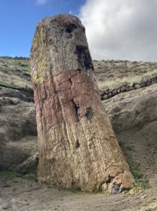
立岩(京丹後市)
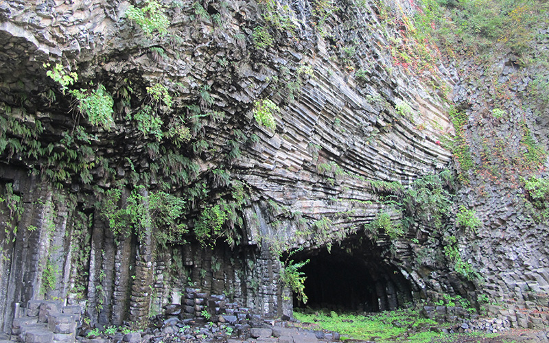
玄武洞(豊岡市)
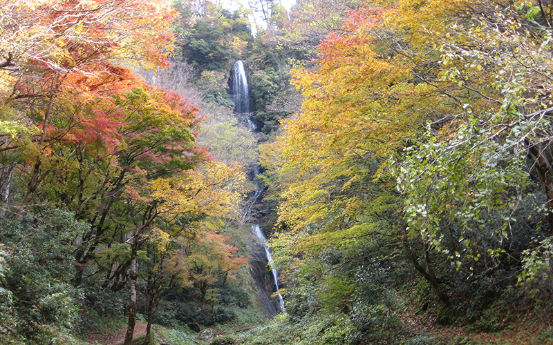
猿尾滝(香美町)
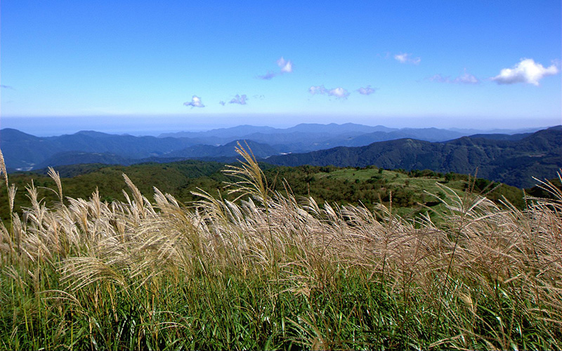
上山高原(新温泉町)
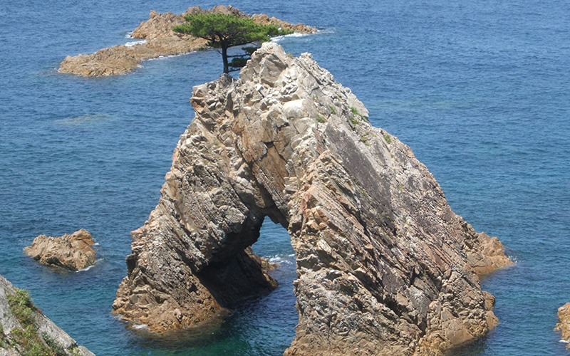
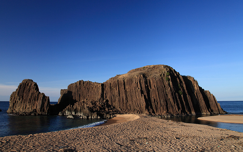
千貫松島(岩美町)
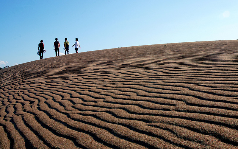
鳥取砂丘(鳥取市)
(3)姉妹ジオパーク『レスボス島ジオパーク』
山陰海岸ジオパークとレスボスジオパークは、2011年2月に姉妹提携を結びました。資源の保護や活用などの情報交換、ジオパークの紹介や宣伝などで協力していきます!
山陰海岸ジオパークのテーマ
日本海形成に伴う多様な地形・地質・風土と人々の暮らし
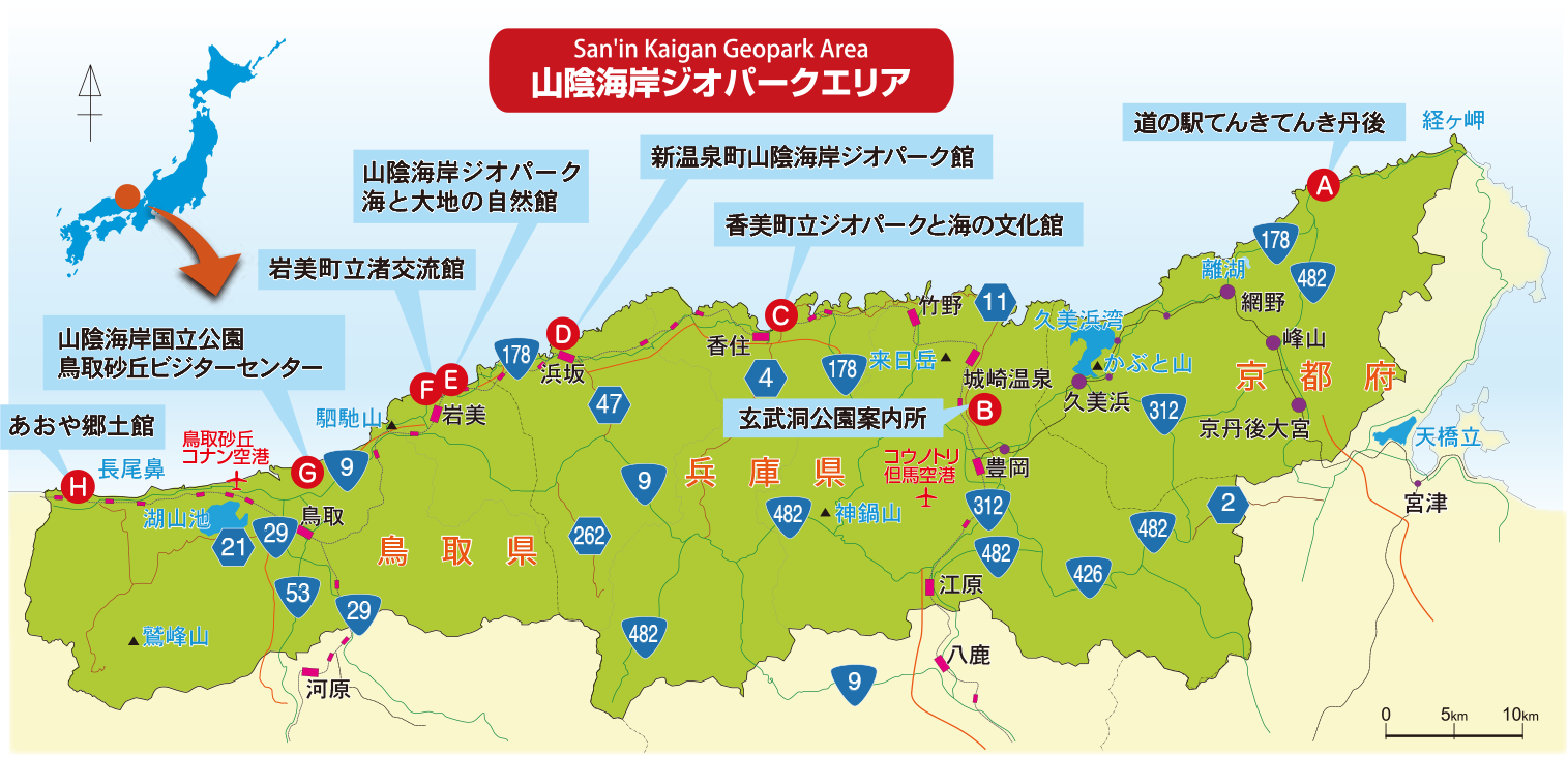
山陰海岸ジオパークの拠点施設
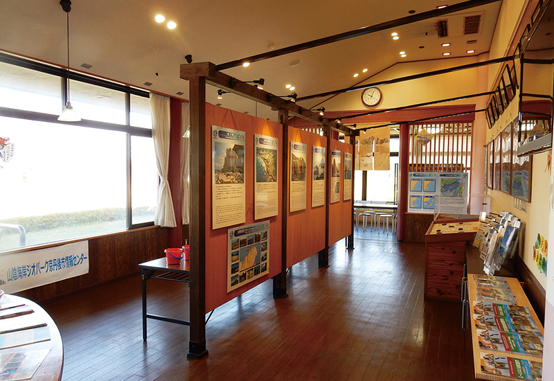
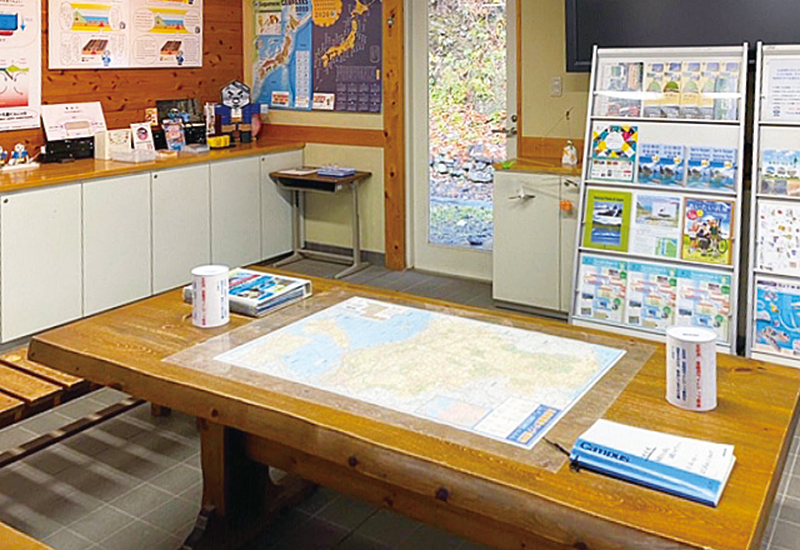
*山陰海岸ジオパークや周辺のジオサイトの情報や資料を得ることができます。
*地域団体が施設を拠点にジオパーク活動を行っています。
(A)山陰海岸ジオパーク京丹後市情報センター
(道の駅てんきてんき丹後内)
立岩をのぞむ道の駅。琴引浜の鳴き砂をはじめとする山陰海岸ジオパークエリアの砂や、見どころの写真などを展示。ジオサイトへ出かける前の情報収集施設です
(B)玄武洞公園案内所
玄武洞の成り立ちや玄武岩についての資料を展示しています。
(C)香美町立ジオパークと海の文化館
香美町の魅力と日本海の恩恵を受けながら生きてきた人々の文化を紹介しています。
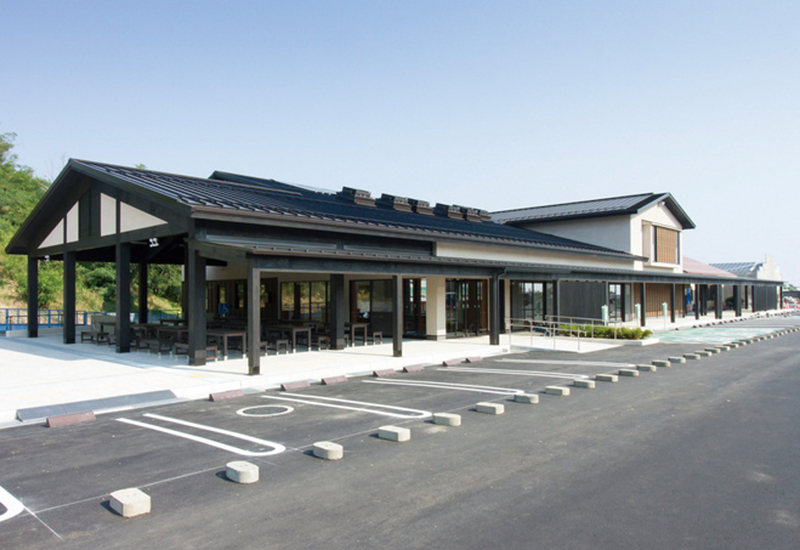
(D)新温泉町山陰海岸ジオパーク館
山陰エリアの岩石の展示や各種体験学習を実施しています。
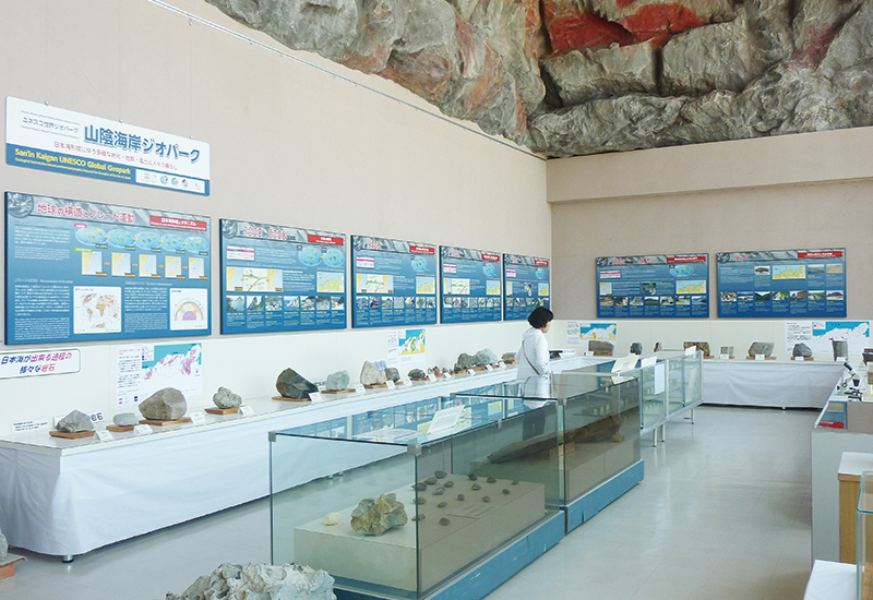
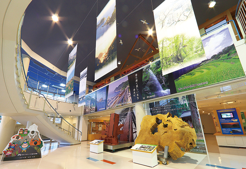
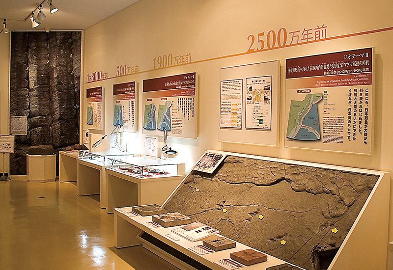
(E)山陰海岸ジオパーク海と大地の自然館
山陰海岸ジオパークの自然についての展示施設です。
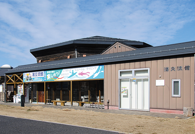
(F)岩美町立渚交流館
シーカヤック、シュノーケル等の自然体験施設です。
(G)山陰海岸国立公園 鳥取砂丘ビジターセンター
海岸砂丘の成り立ち、風紋(ふうもん)等、砂と風が生み出す現象を展示しています。
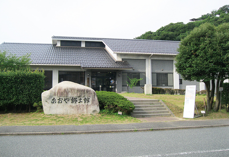
(H)あおや郷土館
歴史・文化等の企画展や、鳴り砂、因州和紙、海女漁等の魅力を紹介しています。
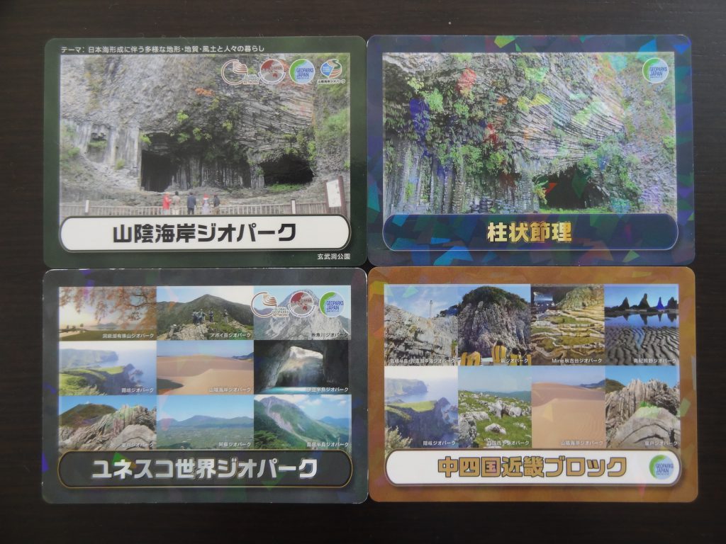
山陰海岸ジオパークの「ジオカード」
「ジオカード」とは日本ジオパークネットワークが発行する、ジオパークに関連する土地や自然の中の地形などジオパークを構成する要素をカードにしたものです。各ジオパークごとのカード(山陰海岸ジオパークカード)と、各地域共通の制作枚数を限定したカード(ユネスコ世界ジオパークカード、中四国近畿ブロックカード、柱状節理カード)の4種類があります。
ジオカード公式ホームページ
山陰海岸ジオパークでは4種類のカードを配布していますが、どの施設でももらえるカードは1枚です。いろいろな種類が欲しい方は、違う施設を巡ってみてください。
配布の際にはアンケート記入をお願いしています。アンケートと交換でカードをお渡ししていますのでご協力ください。
※「山陰海岸ジオパークカード」以外のカードは配布を終了しました。
【山陰海岸で配布するジオカードの種類】
・山陰海岸ジオパークカード
・ユネスコ世界ジオパークカード ※配布終了
・中四国近畿ブロックカード ※配布終了
・柱状節理カード ※配布終了
【配布場所】
・山陰海岸ジオパーク推進協議会事務局(兵庫県豊岡市)及び上記拠点施設
ユネスコ世界ジオパークカード、中四国近畿ブロックカード、柱状節理カード配布を終了しました。
山陰海岸ジオパーク以外でも配布しているジオパークがありますので、他のジオパークにお問い合わせください。
参考 ジオカード公式ホームページ
比較的多く用意している「山陰海岸ジオパークカード」は、山陰海岸ジオパークでしか配布していないので貴重です(在庫がなくなるまでの限定配布)。