Volcanic rocks and sedimentary rocks generated during the time of the formation of the Sea of Japan and after are widely distributed, covered by lava formed after the formation of the Japanese Archipelago. Valleys and waterfalls were formed by a variety of geological processes. Additionally, mudstone formed by deposition in the shallow sea at the time of formation of the Sea of Japan are spread over the area, causing landslides in old times to make gentle slopes. Such landforms are used in the people’s lives.
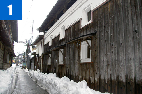
(1)Townscape of Muraoka
One of the castle towns on the old San'in Road, including Gotenyama Park, feudal lord Yamana's emcampment is preserved.
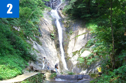
(2)Saruodaki Waterfalls
The Saruodaki porphyrite dyke has a length of 5.5km in a north-south direction and 500m width, which was formed by intrusion during the time of the formation of the Sea of Japan. The Saruodaki Waterfalls are almost 60m high (two-staged waterfall with 39m upper stage and 21m lower stage) formed in the dyke.
(3)Mt. Sobudake
A mountain (1,074m altitude) formed of sedimentary rock during the time of formation of the Sea of Japan. A forestry road goes up to the ninth station and you can enjoy a wonderful view of Muraoka village from the observatory there. Hard volcanic rocks (Saruodaki Waterfall porphyrite dyke, etc.) are distributed as dyke and sill, which may play a role as a backbone to generate the high mountain.
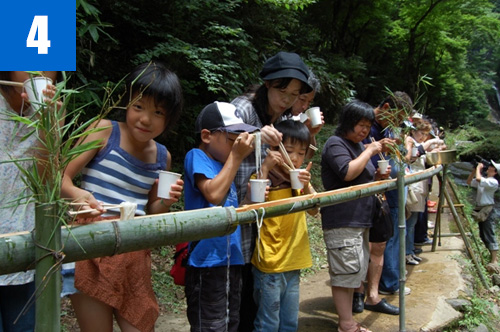
(4)Saruodaki Festival (July)
A summer festival to enjoy coolness in summer, such as Somen Nagashi (Somen noodle catching) which feudal lord Yamana is said to have enjoyed and fish catching popular with children.


