A site in the valley for enjoying mountain and forest walks. Ancient remains from the Jomon and Yayoi Period, tumulus, and Tatara iron-making sites remain.
(1)Kutogawa Valley
A valley along the Kuto River originating from Mt. Kuto at an altitude of 650m. Geographic features caused by the formation of the Sea of Japan, valleys and landscapes of mountain villages are preserved, where mountain and forest walks can be enjoyed. Tatara iron-making was conducted upstream in the valley in modern times (Motodani Yakio iron making site) .
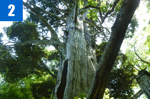
(2)Mt. Kuto
The mountain located on the boundary of former provinces. The second order triangulation station is settled on the summit of 650m altitude. The mountain is formed of lava and conglomerate, where Japanese horse chestnut, false Daphne, and rhododendron grow thickly.
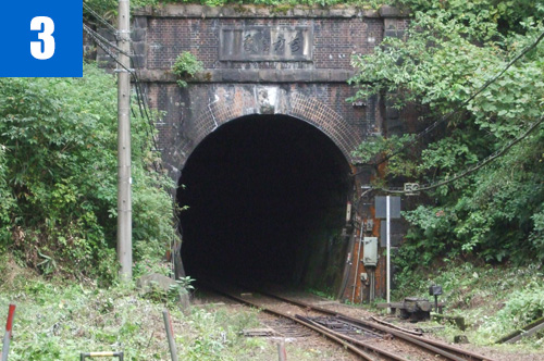
(3)Tokan Tunnel
The longest tunnel on the San'in Line. Many casualties were caused by the difficult work of tunnel construction. A memorial monument to the victims is located in Kutani Hachiman shrine in the west.
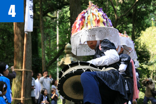
(4)Kutani Zanzaka Dance (September 15)
A dance dedicated to Hachiman shrine in Kutani, Shin'onsen Town, which is one of Furyu drum dance passed down in the nation. The dance is considered to have been established at the end of the Muromachi Period (16c) according to lyrics and oral tradition. It is designated as a folk cultural property in Hyogo Prefecture because it preserves the oldest forms of Zanzaka Dances in the Tajima region.


