A rock coast where scenic places including the national nature monument “Yoroi-no-sode” can be found. It was designated as a national beauty spot in 1938. The rocks of the seashore record the time of the formation of the Sea of Japan and after. Hitoichi Town developed on the sand bar linked to the land. Both Kasumi West and East Ports are developed as fishing bases.
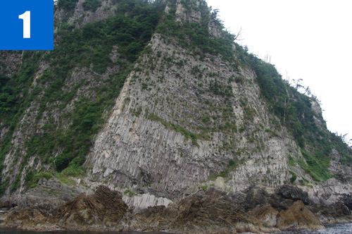
(1)Yoroi-no-sode
Great rock walls made of rhyolite and dacite exposed by erosion. The eastern side wall is a bedrock of extended columnar structure some 65m in height and approx. 200m in width. The triangular wall on the tip is formed with numerous extensions of columnar joints and platy joints, which appear like a sleeve of Japanese armor (Yoroi-no-sode) which the site was named after. There are strange-shaped rocks in the sea such as Takasu Rock and Hachinosu Rock formed by erosion.
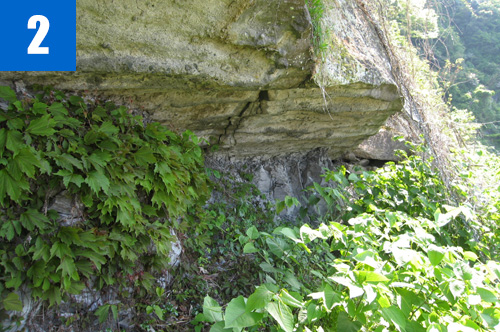
(2)Shimonohama Beach (fossilized current mark footprints)
Fossils of current marks and footprints of large mammals remain in the river/lake deposits (alternated strata composed of conglomerate, sandstone, and mudstone) settled in a depression area near the peripheral area of the Continent during the time of early formation of the Sea of Japan.
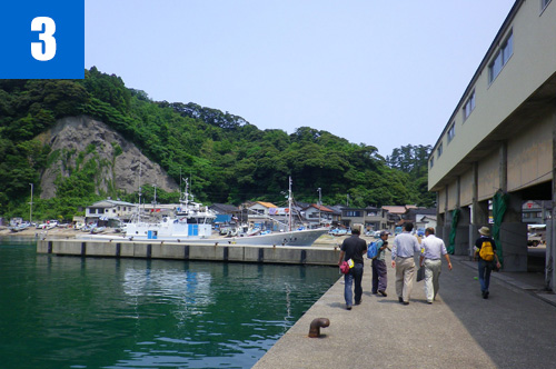
(3)Kasumi Port
A port developed in a natural bay, which is a fishing base around Kasumi.
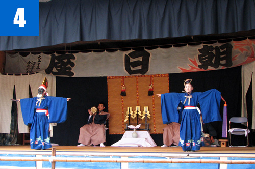
(4)Kasumi Sanbaso
One of six Sanbaso (a traditional dance dedicated to shrines) passed down in six districts in the Kasumi area. It is dedicated to an autumn festival in Kasumi Shrine. The Sanbasou is composed of three characters of Senzai, Okina, and Kurokijo. The main play scenario is common to other districts, but the chants and detailed actions are different by district.


