Rocks formed in the time prior to formation of the Sea of Japan to just after are mainly distributed, and volcanic rocks after the expansion are partly mixed. Complicated landforms were formed by differentiated erosion caused by a wide variety of rocks, and sunken by increase of the sea level to develop the ria coast.
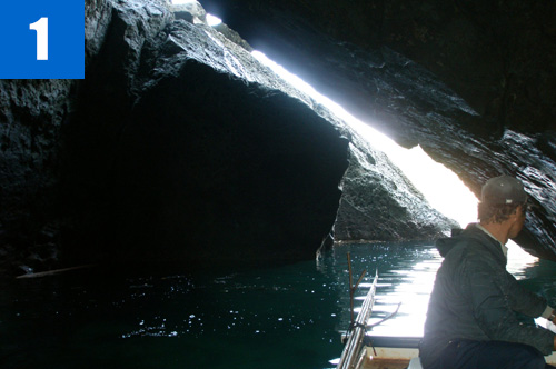
(1)Nihon Sea Cave, Kameyama Sea Cave
The Nihon Sea Cave is formed along the fault running in a northeast to southwest direction. It is 85m in length, 8m in width, and 5m in depth. The Kameyama Sea Cave is formed along a rock vein, and is 28m in length, 16m in width, 3.5m in depth, and 9m in height. They are designated as national natural monuments.
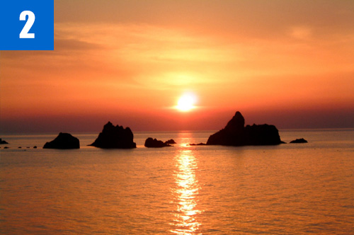
(2)Anami Kaigan Coast
A seashore having small islands, which was formed by erosion of tuff and lava (andesite, etc.) erupted in an area of depression at the periphery of the Continent at the time of early formation of the Sea of Japan. The small islands of Shiraishi Island and Meotoiwa rocks are seen from the beach. The dyke of rhyolite having extended cylindrical joints forms the capes and small islands. There is Hanazuru rock tunnel above the sea level formed by erosion of wave abrasion in this area.
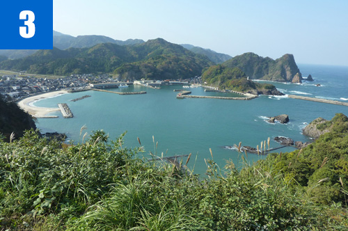
(3)Shiroyama Park
A park located on a hill looking down on Moroyose Port. Formed from lava of the time of early to middle stage of extension of the Sea of Japan. There is a mountain castle of the Warring States Period on the peak of the mountain.
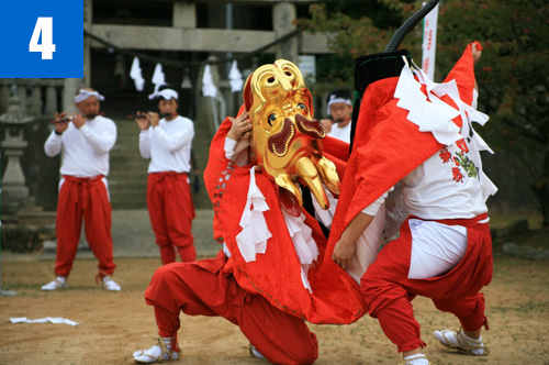
(4)Igumi Kirinjishi Dance (October)
The dance is designated as prefectural important intangible cultural property. They present the dance in the regular festival in October, and go around the town as a leader of portable shrine procession. They valiantly dance in front of each house playing for well-being of the family.


